How to Trace a Packhorse Road Through a Northern Town
Trace a packhorse road through a northern town by comparing maps, terrain and street alignments, and judge what the surviving clues can support.
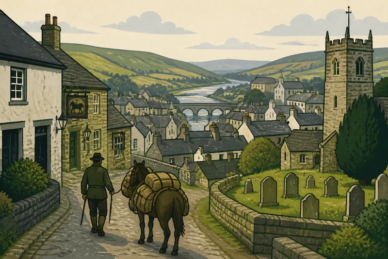
You turn from a broad high street into a lane that bends around a churchyard, then opens beside an old inn. To trace a packhorse road through a northern town, begin with its possible line beyond the buildings: a street’s shape alone cannot establish how it began.
Set a clear limit on what the street can tell you
Packhorse routes carried goods on animals along tracks where steep gradients, rough ground or difficult crossings could make wheeled travel awkward. Some routes later became ordinary roads and town streets. Others survive only as a short alignment, a boundary or a name.
Keep two questions separate: where might the route have run, and what did people use it for at a particular time? Maps and street patterns can help with the first. Evidence of historical use may require local records or specialist research.
Make a simple working note as you investigate: record the feature, where it points, and what remains uncertain. For instance, “lane bends beside churchyard, continues towards river; possible earlier route” is more useful than calling it a packhorse road before checking its wider setting.
Trace the route beyond the town centre
Look for a line that enters and leaves the settlement rather than stopping at its centre. On a paper map or a mapping application, trace the lane backwards towards fields, a river crossing, a pass or another road junction. Then follow it forwards. A plausible continuation on both sides is more meaningful than an isolated bend.
Compare the line with the ground. Loaded animals needed routes that could be managed, so slopes, wet ground and crossings matter. A lane that follows a contour or reaches a stream at a practical point may fit an older route. A steep climb or an abrupt dead end may call for another explanation, although neither settles the matter on its own.
Check whether the route’s apparent direction connects places that make sense together. A way leading towards a neighbouring settlement or upland track may deserve closer attention. Avoid drawing a route across the map simply because two distant places appear connected; look for a visible or historically documented link between them.
Compare maps without mistaking continuity for origin
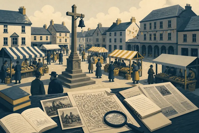
Use maps from different periods if they are available. Start with a fixed landmark, such as a church, bridge or river bend, then compare the same stretch of street. A lane that remains in roughly the same place while nearby streets change offers evidence of continuity, but it does not reveal when the lane began or what it carried.
Notice changes as well as persistence. A road may have been diverted by a new bridge, cut by later building or absorbed into a street grid. If a section disappears, inspect the street directions and boundaries on both sides of the gap. A matching alignment can suggest a lost connection, but the missing section should remain part of your account of the uncertainty.
Map labels need care. A route may be named differently over time, and a label can refer to a district or destination rather than a road’s original purpose. Record the map date and wording rather than treating either as a complete history.
Read bends, narrow points and junctions in context
A bend might mark a route adjusting around a churchyard, market space or property boundary. A narrow passage might preserve an older line, but it could also result from later building. An angled junction may point towards a vanished track, especially if the same direction continues in a footpath or boundary.
Ask what each feature connects. Does the bend lead towards a crossing? Does the lane continue beyond a pinch point? Do nearby plot boundaries run in the same direction? The connections matter more than a collection of unusual shapes.
A street’s carriageway is not the only place to look. A footpath, alley or property line can retain the direction of a route after traffic has moved elsewhere. Check how these smaller traces meet the wider street pattern before describing them as part of the same line.
Check common questions about packhorse roads?
What should I compare on old maps?
Align maps using a stable landmark, such as a church or river bend, and compare the same lane across dates. Note both persistent alignments and breaks, since a route can survive in fragments.
Can a street name prove a packhorse road was there?
No. A name can preserve local memory, describe a later use or have changed meaning over time. Use it as a lead, then look for a compatible route beyond the street itself.
What if buildings cover part of the route?
Follow the likely direction on either side of the built-up gap and check nearby paths or boundaries. A continuous alignment may support a possible former route, but the covered section limits what can be claimed.
Which clues make the route case more convincing?
A line that connects plausible places, fits the ground and appears consistently across maps is more persuasive than a name or bend alone. Even then, those clues support an older route more readily than they establish packhorse use.
Work through the clues before choosing a description
Use this field list to decide what to investigate next. Each observation should lead to a specific, cautious choice.
- Check the lane’s continuation: if it can be followed towards a plausible destination on both sides of town, record a possible through-route; if it stops without a clear link, describe it as a local lane unless other evidence emerges.
- Check the slope and ground: if the line follows manageable ground or avoids an apparent obstacle, note that it is compatible with an older route; if it climbs sharply or crosses difficult ground, seek another explanation rather than assuming packhorse use.
- Check map alignment across dates: if the same line persists, describe continuity; if the maps show a diversion or a gap, record the change and avoid presenting the present street as an untouched route.
- Check junction directions: if a junction points towards a surviving path or boundary, follow that line on the map; if it leads nowhere identifiable, leave it out of the route argument.
- Check the street name against its context: if the name fits a route also supported by maps or landscape, treat it as supporting evidence; if it stands alone, use it only as a research lead.
- Check for a crossing or destination: if the lane approaches a river, pass or neighbouring settlement in a coherent way, include that connection; if no destination is clear, keep the proposed route local and provisional.
Say you have a lane beside a churchyard, an older map showing the same bend, and a footpath continuing towards a river. You record the churchyard bend as one observation, compare the lane’s alignment on the map, then follow the footpath towards the crossing. The resulting description could be “a possible earlier route leading towards the river”; without evidence of its historical use, calling it a packhorse road would go further than the clues allow.
Separate an older alignment from later street life
Once a route entered a growing town, its use and appearance could change. Buildings might narrow the road; traffic or a market might alter its role; a new bridge might draw movement elsewhere. A main street can therefore combine an older line with later changes rather than preserve an untouched track.
It is not worth tracing every slight kink in a modern street or treating every old inn as proof of packhorse traffic. Give your attention to features that connect: a persistent alignment, a workable passage through the landscape and a junction or crossing that helps explain the line.
When you describe a suspected packhorse road, state what the maps and street pattern support, then distinguish that from what remains unknown about its original use. That makes the route easier for another reader to check against the town plan, and gives the place’s later changes room in the story.